
Finding Nostalgia and Waypoints on Section P of the Pacific Crest Trail with FarOut
While navigating Northern California’s Section P with FarOut, our Founder, Tommy Corey reflects on the essential waypoints the app provides—and the unmarked memories that make this 98-mile section of the Pacific Crest Trail feel like home.
Story by Tommy Corey
Photography by Tommy Corey Sponsored by FarOut Guides
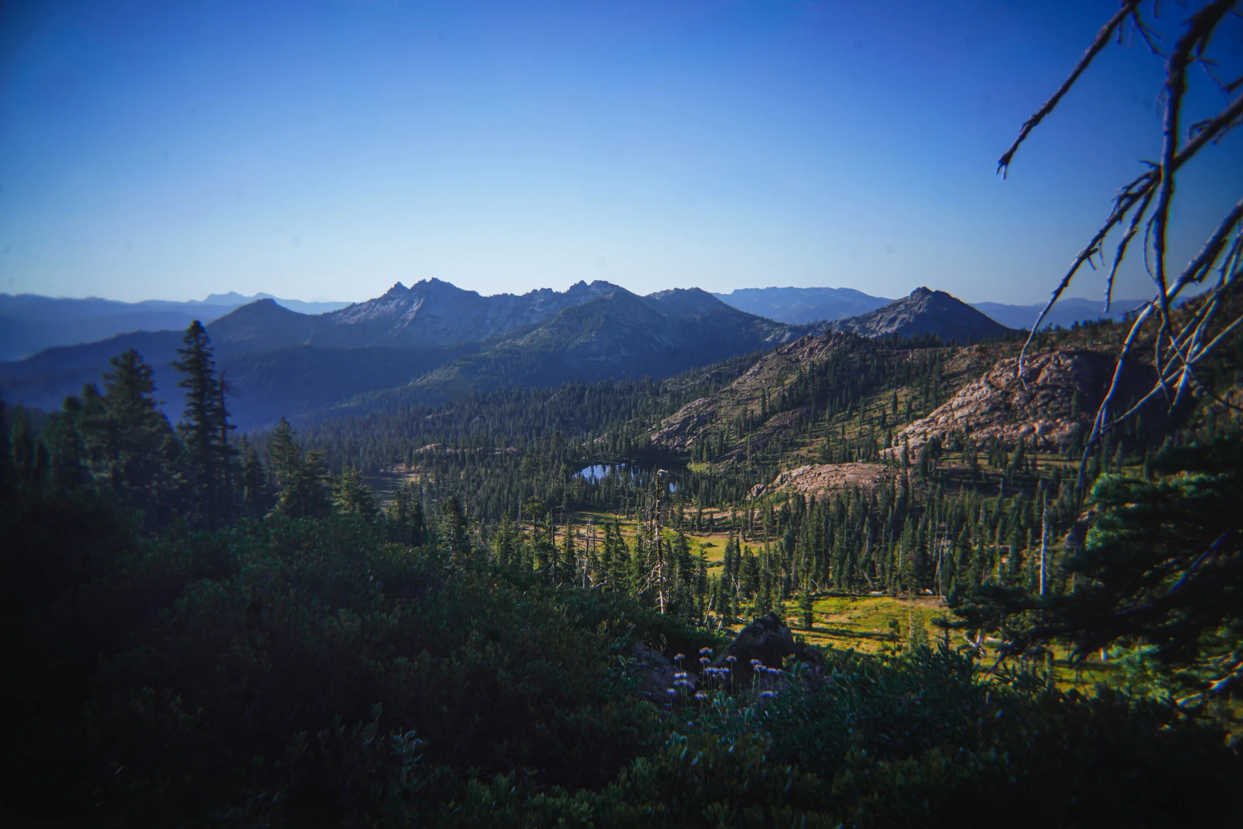
One of my earliest childhood memories is waking up in a dewy green Coleman tent, swallowed by a sleeping bag twice the size of my body. When the smell of my dad’s coffee billowed from his giant Stanley mug and bacon and eggs sizzled on the griddle, I knew it was time to get up.
My oldest brother would already be playing with my cousins–making jokes and fart noises as they ran through the meadow–their laughter blending with the rush of the creek and gentle birdsong; an audible cocktail that still repeats in my head like a Billboard hit.
My dad, my two brothers and I have spent every summer together in the Shasta-Trinity National Forest since I was nine months old. Deadfall Meadows is just a mile below Deadfall Lakes, northbound mile 1538.2 in Section P of the Pacific Crest Trail. The meadow was the first place I ever camped when my parents carried me around in a little baby backpack. To this day, at almost 40 years old, I have returned every summer of my life.
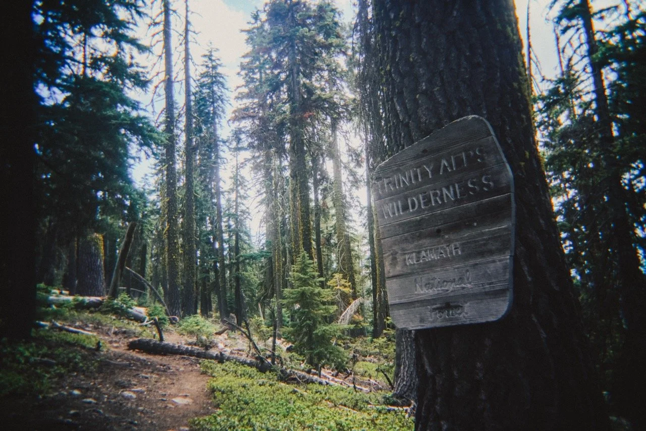
Those early childhood memories in the Trinity Alps were some of the happiest times. We would catch fish in Deadfall Lakes, bushwhack through brush taller than I was, and have photoshoots in the meadows. I remember a little bridge we made in the creek and named it “Clone Bridge” after a toy clown we got at Burger King, since we couldn’t spell “clown” apparently. A nickname for my youngest brother, Mikey, “The Big Nasty” still remains as a family legend. A photo I took of my sister running through the foggy meadow with her arms in the air still hangs in her family’s home today.
One of the section’s deepest wonders is that these old memories have guided me to create new ones nearly forty years later. The pine still smells the same, the creek sounds the same, and I am still adding footsteps to a place that holds so much of my life.
When I thru hiked the PCT in 2018, the nostalgia of this section came rushing back, reminding me just how much this place has shaped every molecule of the person I am today. This summer, I hiked this section from Soda Creek Road to Etna Summit and revisited a lifetime of my own memories.
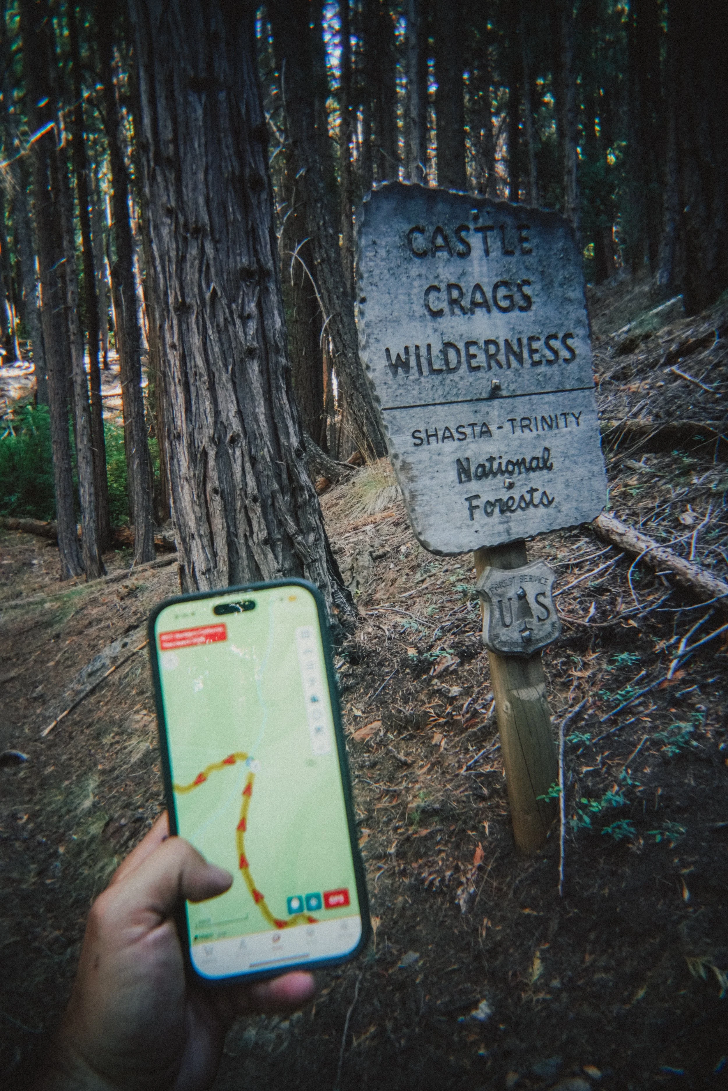

Checking tomorrow’s mileage on the FarOut app.
Before hiking Section P in early July, I re-opened my FarOut app for the first time in as long as I can remember. Unfortunately, life has gotten in the way and I haven’t been able to backpack as frequently as I used to. In the eight years since my thru hike, FarOut served less as a tool for backpacking and more as a digital compass–something I opened on road trips to see where I would cross the PCT or to find a good road crossing to give trail magic to current thru hikers.
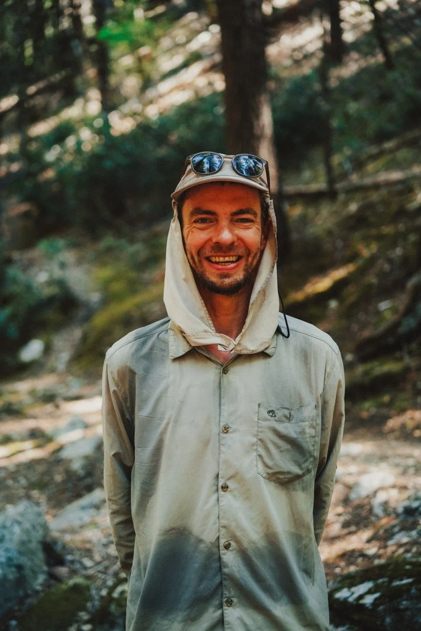
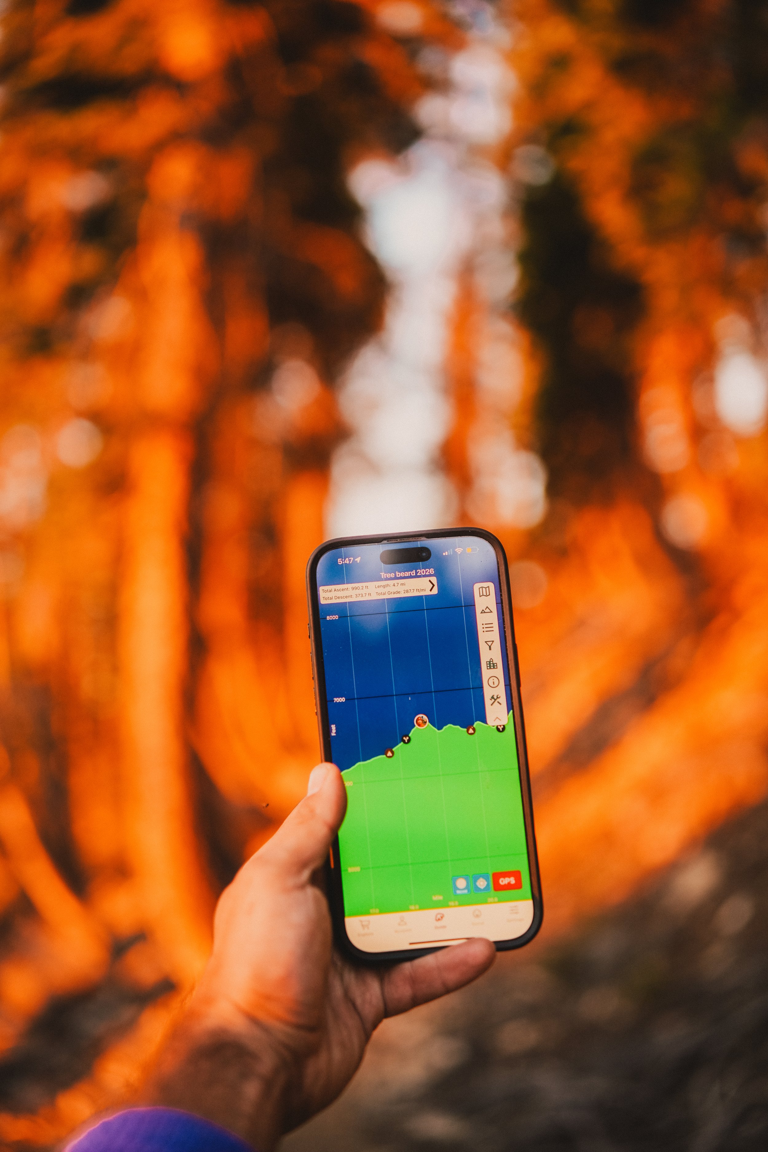
I hiked this section with Tree Beard, a hiker I crossed paths with numerous times back in 2018. The night before our hike, he introduced me to FarOut’s custom route feature, which we used to navigate our 98-mile section. It’s a great feature for thru hikers and section hikers alike, allowing you to create a route between any two points and see both the mileage of your preferred route and where you are along the entire 2,650-mile trail.
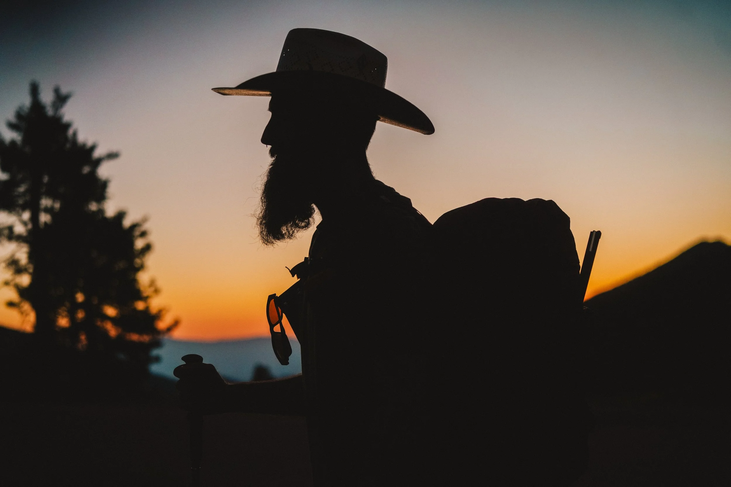
Tree Beard at sunrise.
Another useful tool FarOut offers across their 250+ trail maps is waypoints: water sources, tent sites, trail junctions, road crossings and other icons that guide you on trail or in town. Even when I hiked the trail eight years ago, the app was still really advanced in these features. Getting out for even five days was a nice reminder that I don’t need to be on a five month trek for these waypoints and features to be valuable for shorter excursions.
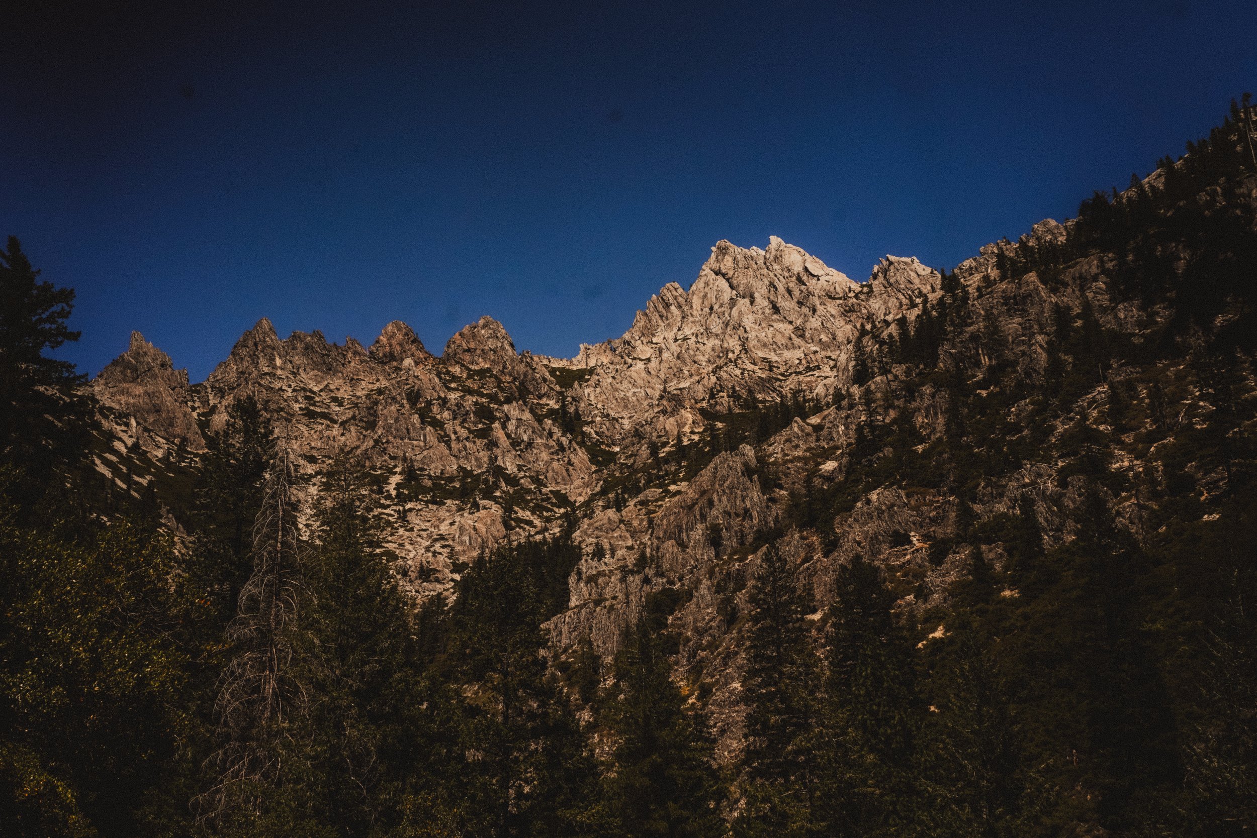
It did not take long for Section P to remind me why I keep returning. The landscape is both rugged and diverse, with alpine lakes, long stretches of shady forest, and open ridges with perfect views of Castle Crags, Mt. Shasta and the Trinity Alps that seem to float at eye level. Our first night on trail, 17 miles into our first day, we camped at one of the best campsites on the entire PCT.
Day 2 was filled with nostalgia as I hiked past Gumboot Trailhead, a high pass at the top of South Fork Road where my dad took us to swim and fish throughout my childhood. A few miles north, Porcupine Lake sits just 0.2 miles off the PCT. Five miles farther are Deadfall Lakes, two neighboring lakes tucked into a geological bowl beneath Mt. Eddy. The lakes are only three miles south of Parks Creek Trailhead, which is easily reached by paved road if you’re jonesing for a lovely 6-mile day hike.
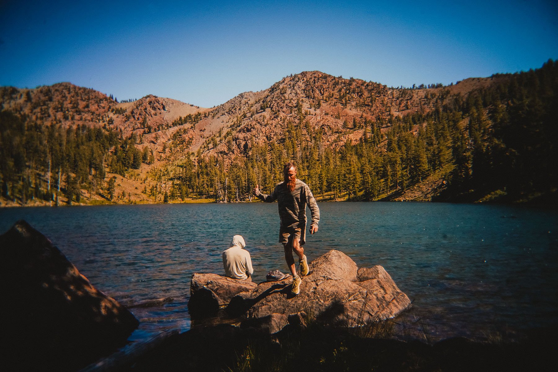
Nemo and Tree Beard relax on a rock at upper Deadfall Lakes.
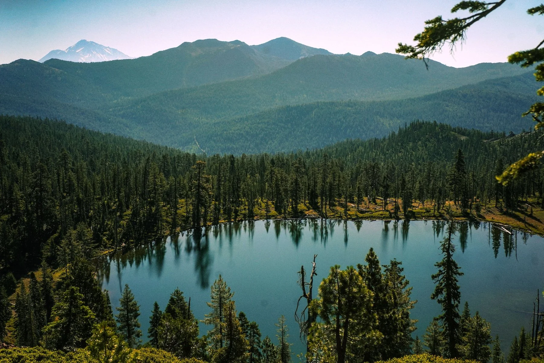
Overlook of Bluff Lake.
The next 60 miles north of Parks Creek felt less familiar, though I could still trace pieces of my past in the landscape below at places like Bluff, Bull and Kangaroo Lakes–each accessible via a trail junction and a short off-trail detour.
The final 30 miles toward Etna Summit, at mile 1601.2, the trail enters an exposed burn-regrowth section exposed by a previous fire. But the landscape is coming back to life: purple fireweed and cow parsnip tower well over 6 feet, while yellow and purple lupines and Indian Paintbrush are in full bloom, along with the occasional tiger lily.
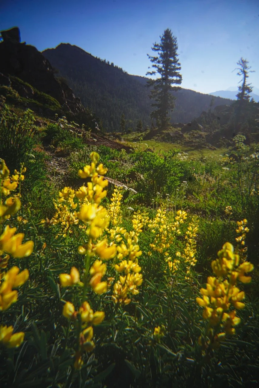
Despite the lack of snow this season, the wildflowers were still surprisingly abundant–likely thanks to reliable water sources, with the longest carry stretching just 10 miles.
That reliability was not something we took for granted. The comments on FarOut’s waypoints were especially vital in this section, alerting us of the few water sources that had dried up or the off-trail springs that sometimes required a steep descent from the PCT.
Of all the app’s features, its water-source comments may be the most useful–and the most community-driven. I was curious to know how much this mattered to current thru hikers. The answer was nearly unanimous among 12 hikers I spoke with. Comments are an essential source of both information and safety.
Angelina, a current thru hiker from the Netherlands, agrees. “The comments are really helpful to know if a water source is still flowing. I think that’s the most important,” she says, adding that hikers also rely on entries about bear activity or upcoming burn zones–an increasingly common concern as wildfires reshape the trail.
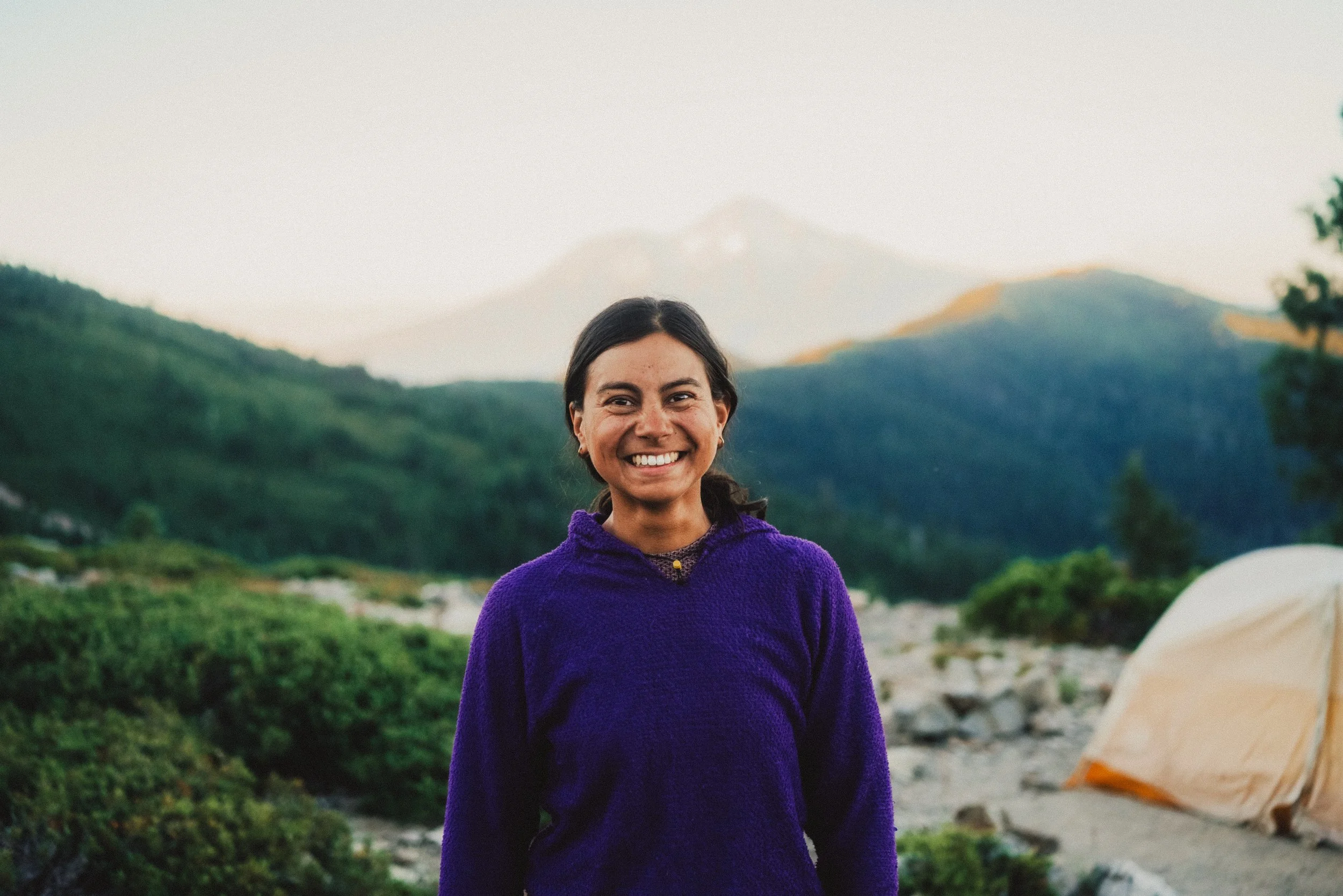
Angelina from the Netherlands smiles in front of Mt. Shasta.
“My favorite feature is the switch between the map and elevation. And the route function so I can see how much gain there is over a mile.”
—Eddie from Germany
FarOut co-founder Alice Bodnar says fire season has made timely app updates more urgent, changing how the company interacts with hikers. That work is supported by nearly 50 partnerships with trail organizations and publishers to stay current on closures and fire safety.
“Mallory, who handles customer support and data processing, frequently checks and updates the CDT and PCT alert pages,” Bodnar says. “We update the app for fire closures–then we update the app. We have to stay on top of it; otherwise, we’ll be irrelevant.”
For a tool used by different types of hikers across so many trails, FarOut remains a small team of just six full-time employees. Bodnar says its small size helps the company stay connected to the people who use it. When I asked whether the team could tell how many users were thru hikers versus section hikers, she didn’t have a percentage.
“We're actually super privacy focused. We don't track where people are when they use it,” she says. “If you record a track or create a Check-in, that's in our system, we know where you were. But you voluntarily opted into that. We don't track you otherwise.”
That privacy means the app doesn’t distinguish between two versions of myself; the thru hiker who once walked from Mexico to Canada and a returning hiker revisiting a beloved section of trail. Both relied on the same things–current water information, detailed routes, and the added confidence to enter the backcountry.
Most hikers agreed that water-source comments are among FarOut’s most important safety features. Another commonly mentioned feature are elevation profiles. This was a huge help in planning our mileage, especially since the first 20 northbound miles require a 4,700 foot climb from Soda Creek Road. While the climb offers spectacular views of Mt. Shasta and Castle Crags, the higher you are, the more exposed you’ll be.
Planning our first day of the section hike felt especially vital: it was the biggest climb, we had no trail legs, and FarOut’s comments told us where water would be available. I appreciate that the app doesn’t include waypoints for the meadow full of wildflowers or a weird-shaped tree or rock.
While some might argue that digital trail maps as advanced as FarOut make backpacking too accessible or easy by marking water and tent sites, I think it’s important to note that it eases the stress of navigating the backcountry so you can fully enjoy the unmarked waypoints.
FarOut still allows your hike to be as grand an experience as you want it to be. As someone who has my own waypoints in Section P, the app certainly hasn’t placed any pins on those elusive places just yet.
As I get older and continue to explore this place that is so familiar, I’m grateful that even with FarOut in my hands, the landscape continues to surprise me. My dad may no longer be able to access many of these places the way he once did, but each time I return, I carry the summers he gave us there with me.
FarOut can guide me to water sources, campsites, and every mile of Section P—including the family spots that mean so much to me—but it can’t map the sunset, the feeling of walking the PCT again, the smell of my dad’s coffee steaming from that old Stanley mug, or the memories of my siblings running through the meadow. FarOut guides us to the trail’s essential waypoints, but the space between them is where we discover waypoints of our own.
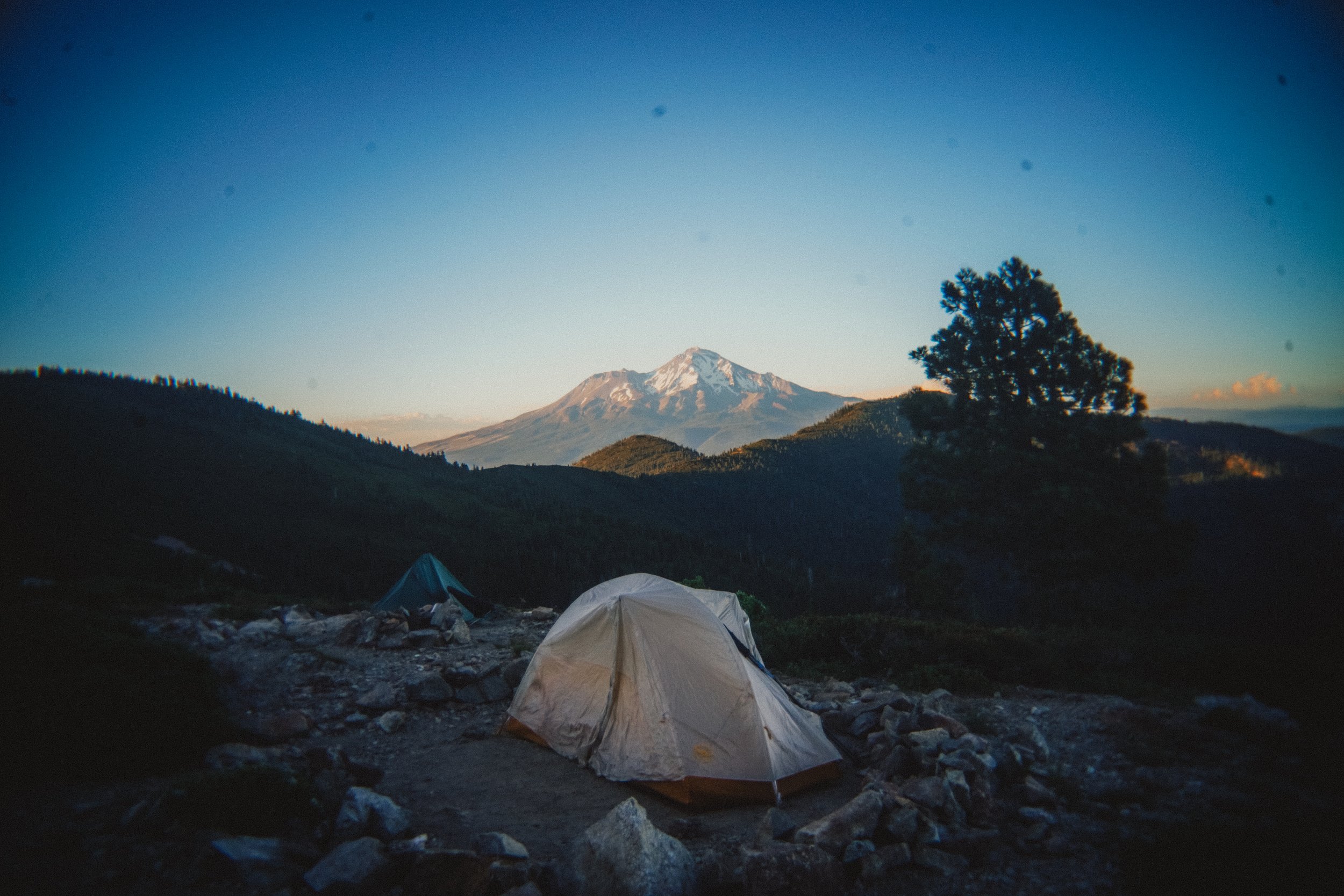
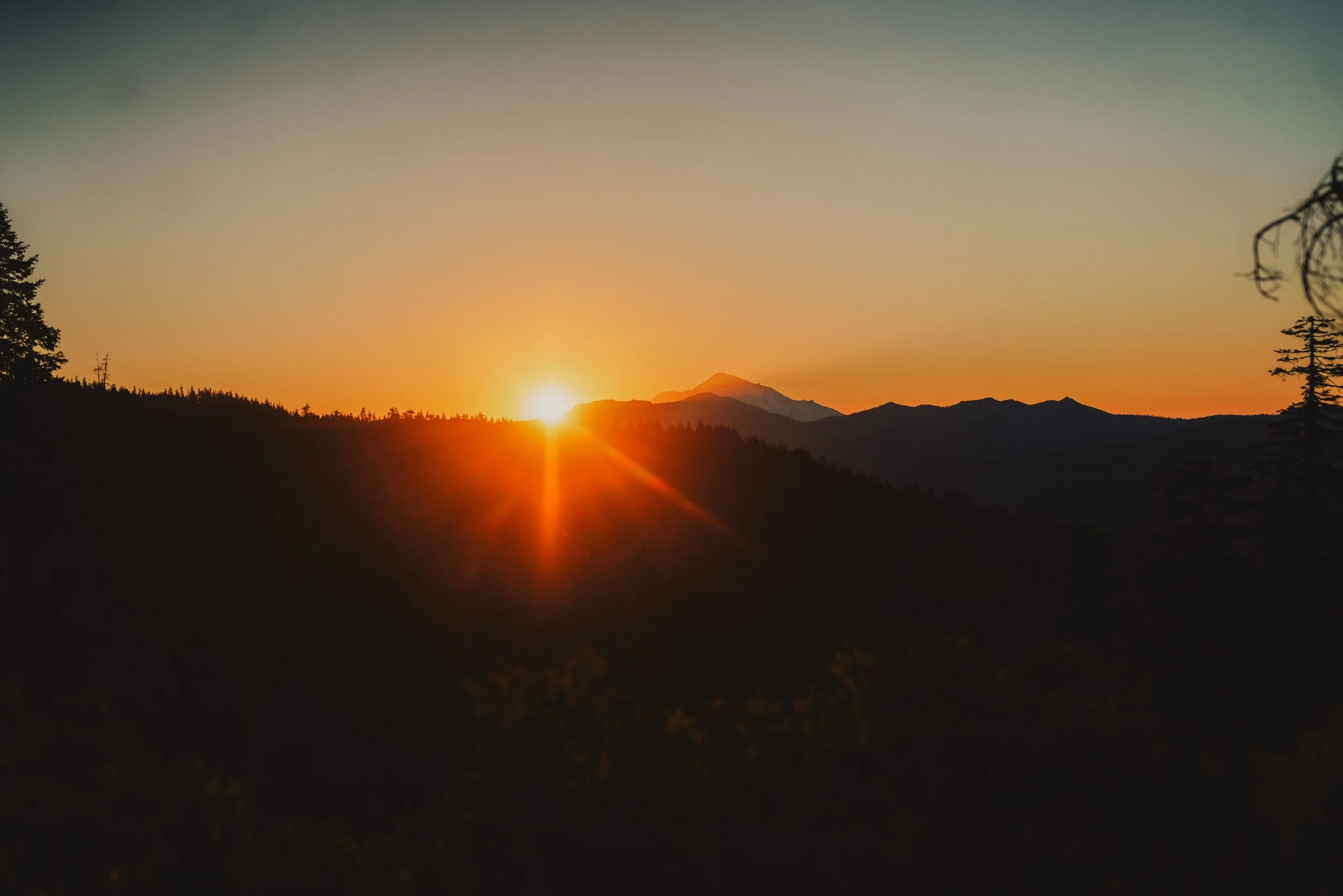
Sunrise behind Mt. Shasta.
